


Winter Storm Warning/Winter Weather Advisory Criteria Lowered for 2020-2021 Season
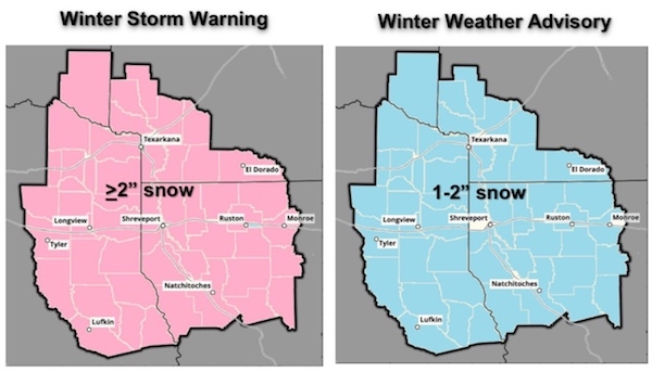
November 16, 2020 - The NWS in Shreveport, LA is now using lowered criteria for Winter Storm Warnings and Winter Weather Advisories. Winter Storm Warnings moving forward will be for any snowfall event greater than or equal to 2 inches, while Winter Weather Advisories will be for snowfall events of 1 to 2 inches.
Why the Change?
The Shreveport office received input from the media, emergency management, transportation, and academic partners that indicated that only two inches of snowfall can bring major impacts to transportation and commerce in the area. Only an inch of snowfall can still bring impacts, making area roadways slick.
How much snow does the area get every winter?
On average, snowfall amounts range from 2.5” in Broken Bow, OK and Mount Pleasant, TX to around 1.0” in Shreveport, LA, Tyler, TX, and El Dorado, AR to 0.5” or less in Monroe, LA, Lufkin, TX, and Natchitoches, LA. Thus, snowfall amounts that trigger a Winter Storm Warning in many cases will bring a snowfall that is greater than the annual average of snow in one event across the area.
Winter Product and Thresholds
Winter Storm Warning
- For: snow, sleet, freezing rain or mixed hazards
- Thresholds: Winter storm with more than one hazard or only heavy snow (>2"), sleet (>0.5”), and ice (>0.25”)
Winter Weather Advisory
- For: snow, sleet, freezing rain, or mixed hazards
- Thresholds: Winter event with more than one hazard or only snow (1-2"), sleet (<0.5”), and ice (<0.25”)
Contact Information:
National Weather Service, 5655 Hollywood Ave., Shreveport, LA 71109
318-631-3669 (Public) 800-551-8338 (Spotter Reports)
sr-shv.skywarn@noaa.gov
www.weather.gov/shv
Facebook: NWSShreveport Twitter: @NWSShreveport YouTube: NWSShreveport