
NWS Alert

Special Weather Statement for Shelby County

May 10, 2026 - A strong thunderstorm will impact central Shelby County until 5:15pm CDT on Sunday, May 10, 2026.

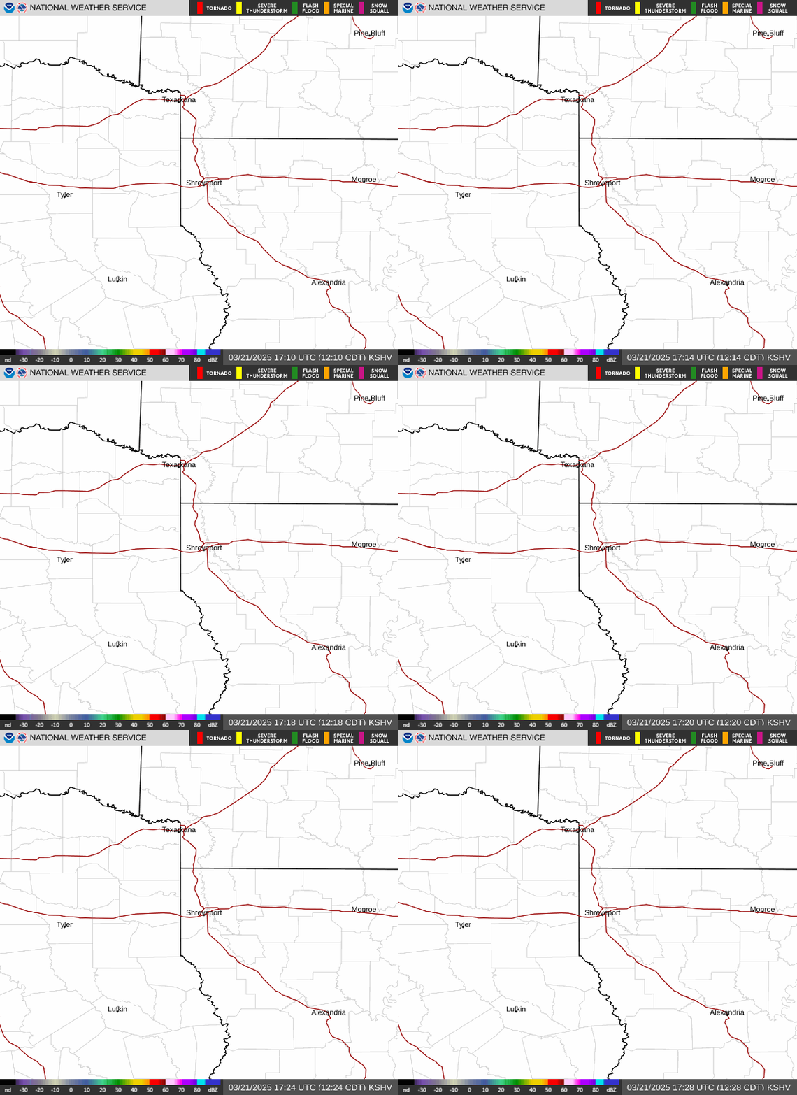
At 4:24pm CDT, Doppler radar was tracking a strong thunderstorm over Center, moving southeast at 10 mph.

Hazard: Wind gusts up to 30 mph and half inch size hail.
Source: Radar Indicated
Impact: Locations impacted include: Center, Shelbyville, Huxley, James, Hurstown, and Jordans Store.

Severe Thunderstorm Warning Included Shelby County

April 29, 2026 - The National Weather Service has issued a Severe Thunderstorm Warning April 29 at 7:40PM CDT until April 29 at 8:30PM CDT.

The National Weather Service in Shreveport has issued a Severe Thunderstorm Warning for Northeastern Nacogdoches County in eastern Texas, North Central San Augustine County in eastern Texas, Southwestern Shelby County in eastern Texas until 8:30pm CDT.

At 7:40 PM CDT, a severe thunderstorm was located 5 miles southwest of Garrison, or 12 miles northeast of Nacogdoches, moving east at 30 mph.

Pages

Subscribe to RSS - NWS Alert