January 21, 2017 - Tornado watch outline update for watch 16 NWS storm prediction center Norman Ok 340pm CST Sat Jan 21 2017 tornado watch 16 is in effect until 9pm cst for the following locations.
Texas counties included are Angelina Bowie Cass Gregg Harrison Marion Morris Nacogdoches Panola Rusk Sabine San Augustine Shelby
January 6, 2017 - Patchy areas of drizzle and sleet are moving to the northeast at 15 mph expect these conditions to continue across the area through the morning hours. Motorist take extra time to get to your destination this morning and remember roadways and elevated surface like bridges could be slick with patchy ice.
National Weather Service, Shreveport, Louisiana
11:00am CST, Sunday, January 1, 2017
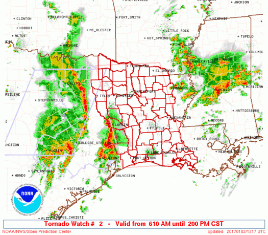
January 1, 2017 - The National Weather Service (NWS) has issued a Hazardous Weather Outlook for portions of South Central Arkansas, Southwest Arkansas, North Central Louisiana, Northwest Louisiana, Southeast Oklahoma, East Texas and Northeast Texas.
National Weather Service Shreveport, Louisiana
9:50pm CST, Sunday, January 1, 2017
January 1, 2017 - The National Weather Service (NWS) has issued a dense fog advisory in effect until 6am CST Monday for all of North Louisiana, Southwest Arkansas, McCurtain County Oklahoma, and portions of East Texas.
November 28, 2016 - The National Weather Service issued a Tornado Watch until 5pm CST for the following counties: Shelby, Harrison, Jasper, Marion, Newton, Orange, Panola, Sabine, and San Augustine.
August 23, 2016 - Tuesday 3:35pm to Wed 7pm Urgent - Weather message National Weather Service Shreveport LA 335 PM CDT Tue Aug 23 2016
A heat advisory is in effect from Noon until 7 PM CDT Wednesday for Northwest and Northern Louisiana and portions of deep East Texas and portions of Southern Arkansas, Union, Caddo, bossier, Webster, Claiborne, Lincoln, De Soto, Red River, Bienville, Jackson, Ouachita, Sabine, Natchitoches, Winn, Grant, Caldwell, La Salle, Shelby, San Augustine, including the cities of EI
August 11, 2016 - National Weather Service issues a heat advisory which remains in effect until 7 pm for much of East and Northeast Texas, Southeast Oklahoma, Southwest and South Central Arkansas, and parts of Northwest and North Central Louisiana including the cities of Mansfield, Stonewall, Logansport, Nacogdoches, Center, and Lufkin until 10:47 AM CDT Thursday, August 11, 2016.